 |
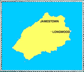
 St. Helena is located at 15 degrees 55 minutes south and 5 degrees for 4 minutes west. The island has only one harbor, the rest of the coast being rocky cliffs. Mount Acteon rises 2,680 feet above this rugged coastline. The Portuguese discovered the island in 1502. At that time the island had lush vegetation and fruit trees, all of which were destroyed by wild goats left by ships. The English East India Company set up a base in a mid-17th-century. In 1815 Napoleon Bonapart was brought to the island as a prisoner. A flax growing industry helped the economy especially during the world wars. 5,600 people live on the island, most of them in the capital of Jamestown. The climate is tropical, but cooled by the Southeast trades, and the cold Benguela current from the southern Ocean. |